|
now at William & Mary's Center for Geospatial Analysis and Data Science Program Ecological and human-induced changes with remote sensing and geospatial analysis 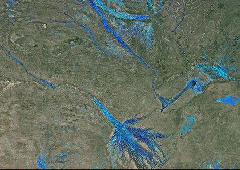 Seasonal ephemeral water for wildlife migrations, Southern Africa (Shaffer-Smith et al 2022)
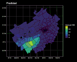
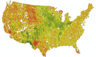
Left: VA Lime disease cases driven by NDVI (Lantos et al. 2021) Right: Summer Vegetation Optical Depth (SMOS) Research Themes:
Recent papers: Google Scholar page
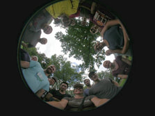
Teaching: Fall 2023 - lab section 4 of GIS 201 Spring 2024: Remote Sensing past courses (at Duke) Remote Sensing for Environmental Analysis, Lidar Remote Sensing, Geospatial Analysis for Land & Water, intro to QGIS. With the Clark Lab 2019 @ Duke  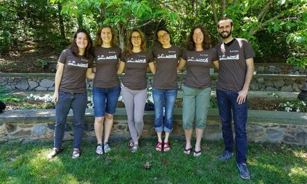 The lab in their remote sensing T's (2018)
Contact: [email protected] Assoc. Prof. Data Science Director- Center for Geospatial Analysis William & Mary
0 Comments
Leave a Reply. |
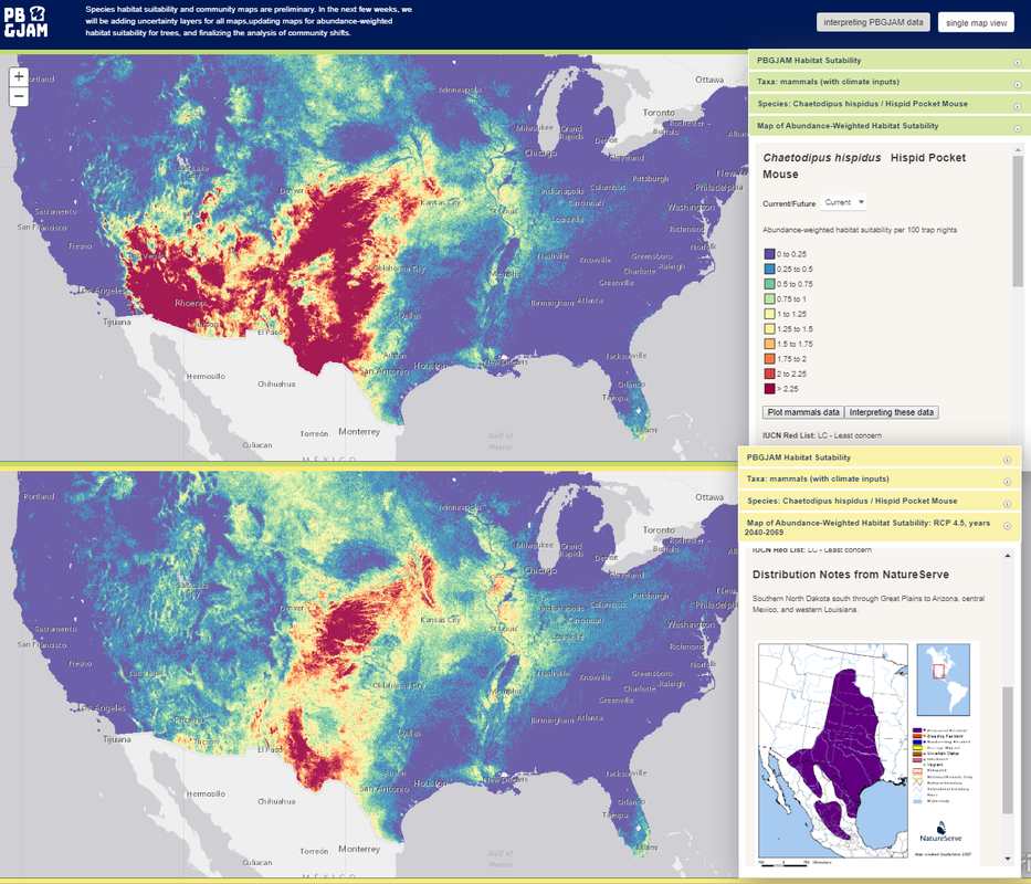
NASA article biodiversity mapping:

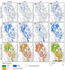
Mapper & Stats tool News coverage: NPR April 5, CalRice-Science to practice. Flooding dynamics of shorebird habitat in California
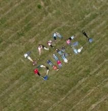
Remote sensing field trip 2016
remote sensing field trip 2015
|